Geospatial firm, Woolpert of the USA, selected to provide topographic map of a quarter of Nigeria for MinDiver project
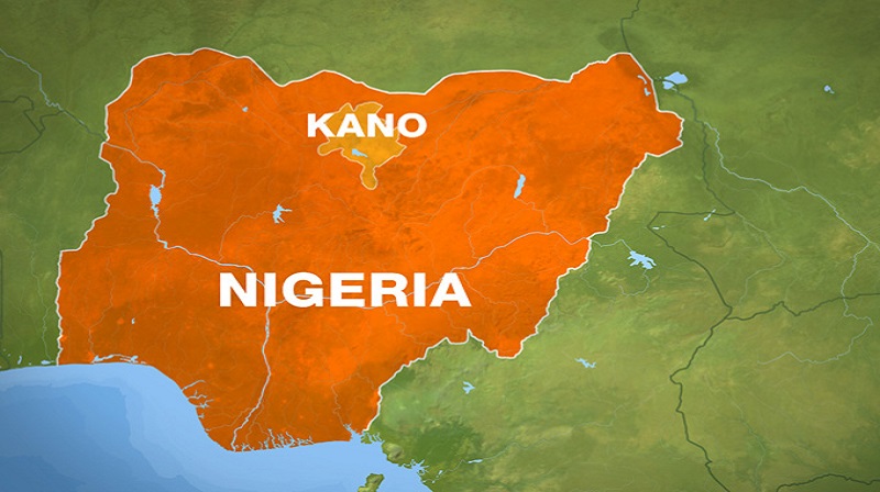
Woolpert, an American based international architectural, engineering and geospatial (AEG) firm of more than 1,000 talented professionals, has been selected to collect, process and deliver topographic mapping across more than one-quarter of Nigeria, or roughly 258,000 square kilometers, under a $4.4 million contract with the Ministry of Mines and Steel Development (MMSD). The project is part of the Mineral Sector Support for Economic Diversification Project, also known as MinDiver, and is funded by the World Bank.
Woolpert will supply the labor, materials and equipment needed to develop 340 complete topographic mapping sheets and corresponding Multinational Geospatial Co-production Program (MGCP) data. The firm will provide 1.5-meter processed satellite imagery, digital elevation models, ground truthing, feature extraction and topographic map data. Woolpert also will implement a streamlined MGCP mapping and cartographic finishing workflow through Esri ArcGIS Pro with Defense Mapping and Production Manager. Additionally, Woolpert has deployed a full-fledged, cloud-based enterprise geospatial data hosting platform coupled with multi-user virtual desktops through Microsoft Azure and Woolpert’s raster service, STREAM:RASTER, to allow for easily managed, cross-continental geospatial production.
MGCP is governed by the U.S. National Geospatial-Intelligence Agency and provides a standardized, worldwide geospatial database and mapping products to address national and international needs for its 32 member nations. Woolpert Southern Mapping/Africa Market Director Tim Leary said, per MGCP standards, each mapping sheet will provide standardized imagery interpretation for 100% land coverage, identifying hydrology features, transportation routes and cross sections of population, which will support the accessibility, settlement and workforce needs for the mining of minerals.
“Nigeria is leveraging high-resolution mapping data and the valuable information infrastructure of MGCP to diversify from its purely oil-based economy and strengthen its mineral mining capabilities,” Leary said. “Each mapping sheet for this project will be 15 minutes of latitude by 15 minutes of longitude, collected in three main regions targeted by MMSD to best support efficient and effective mining. If an area is identified that requires higher-resolution imagery for this objective, we can provide that as well.”
Woolpert is coordinating this project through its Johannesburg office and has hired over 15 additional GIS positions at that site in support. The cloud-based infrastructure allows for a swift ramp up as new team members join. This contract is underway and slated to be complete in April 2022.